 |
 |
 |
 |
 |
 |
 |
 |
 |
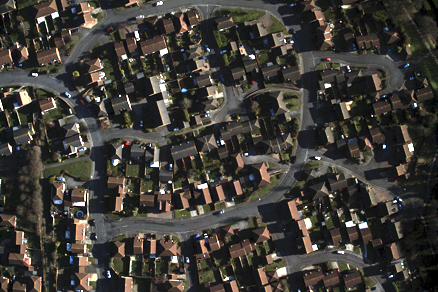 |
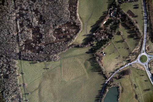
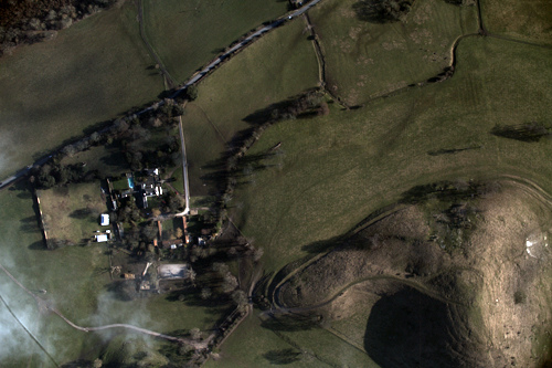
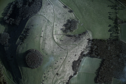
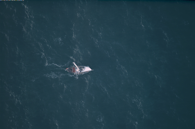
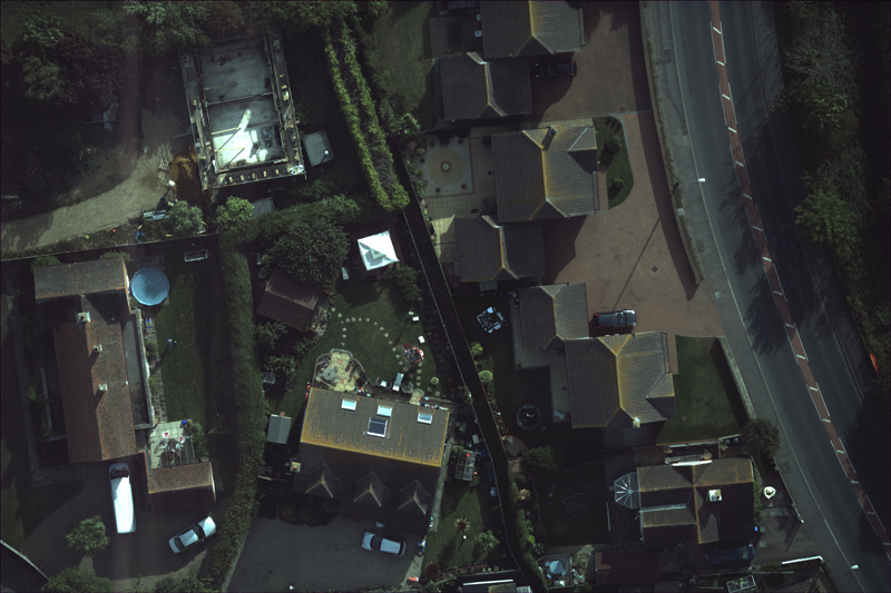
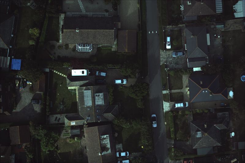
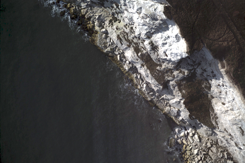
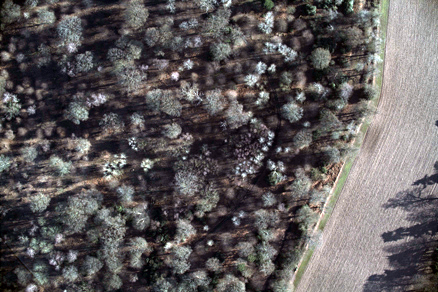
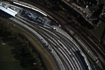
Designed and developed in house, our system utilises the latest High-definition video cameras and is able to capture streamed video data at a “true” 1.8 cm resolution. This system produces the highest quality commercially available imagery and is ideally suited for infrastructure, vegetation and wildlife monitoring programs both onshore and offshore.
Services available associated with data acquisition and delivery includes:
Mosaic
GPS tagging
Geo-rectification
Ortho-rectification
Data reviewing and analysis
Please contact us for further consultation and sample evaluation